| HRLPC Home |
|---|
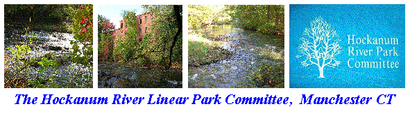
OAKLAND TRAIL
North Side, down 500 feet from Court House Plus - River splits.
North Side, below Avery Brook, surrounded by Knotweed.
North Side, up hill from big footbridge off I-84 Exit-63.
South Side, Bryan Island, northeast corner.
South Side, Bryan Island, to the right of the access bridge.
South Side, behind Conyers Hardware.
UNION POND TRAIL
East Side, next to Boat Launch, donated memorial.
East Side, up from Boat Launch 500 feet.
East Side, right rear of Beacon Light, viewing Rapids
West Side, in from Union Place, viewing Pond
West Side, behind Northwest Park ballfield.
PITKIN TRAIL
Down from Bridge # 1, viewing Union Pond Dam.
ADAMS MILL TRAIL
North Side, up from Dam, carved dam in rear.
South Side, up from Decormier Motors, viewing fallen Dam.
HACKETT TRAIL
On South Loop, viewing Woodduck Box.
On East Side, across river from former Mal Tool.
HILLIARD TRAIL
South Side, short distance from Parking Lot.
NEW STATE ROAD TRAIL
East Side, up from Cheney Gate, facing Memorial Trees.
East Side, up from Cheney Gate, rear of East Catholic.
East Side, downstream end of East Catholic steep path.
East Side, upstream end of East Catholic steep path.
West Side, in Billboard Park.
West Side, on hill near fork in trail.
West Side, facing river below Bridge #3.
West Side, "Luc's Bench" in Sycamore Park.
West Side, "Jim's Bench" in Sycamore Park.
West Side, on opposite bank from "Jim's Bench".
LAUREL MARSH TRAIL
At Stone Dust Entrance 2 benches.
Stone Dust path, next to Slanted Boardwalk.
Stone Dust path, at fork to Sewer Plant.
End of Hop Brook, just over short bridge.
East Side, at Oxbow.
East Side, at end of Long Boardwalk #1.
East Side, on hill near I-384.
East Side, on riprap slope next to I-84.
West Side, on loop slope just off Bikeway.
West Side, on High Point.
West Side, facing Pond #1, near Exit 60.
West Side, on slope facing Boardwalk Junction.
VERPLANCK TRAIL
Down from Leber Road, Outdoor Classroom, about 10 benches.
Off Stone Dust path, near Sewer Plant.
Facing Hop Brook, upstream from Olcott Street.